OUR GROUP
A Different Approach: "ECOLONOMIC"
GRAMINTECH GROUP, INC. exists to provide reliable, cost-efficient, and sustainable knowledge-base through ground support, survey, and analytics to the individuals or enterprises which can help clients improve planning and management strategies.
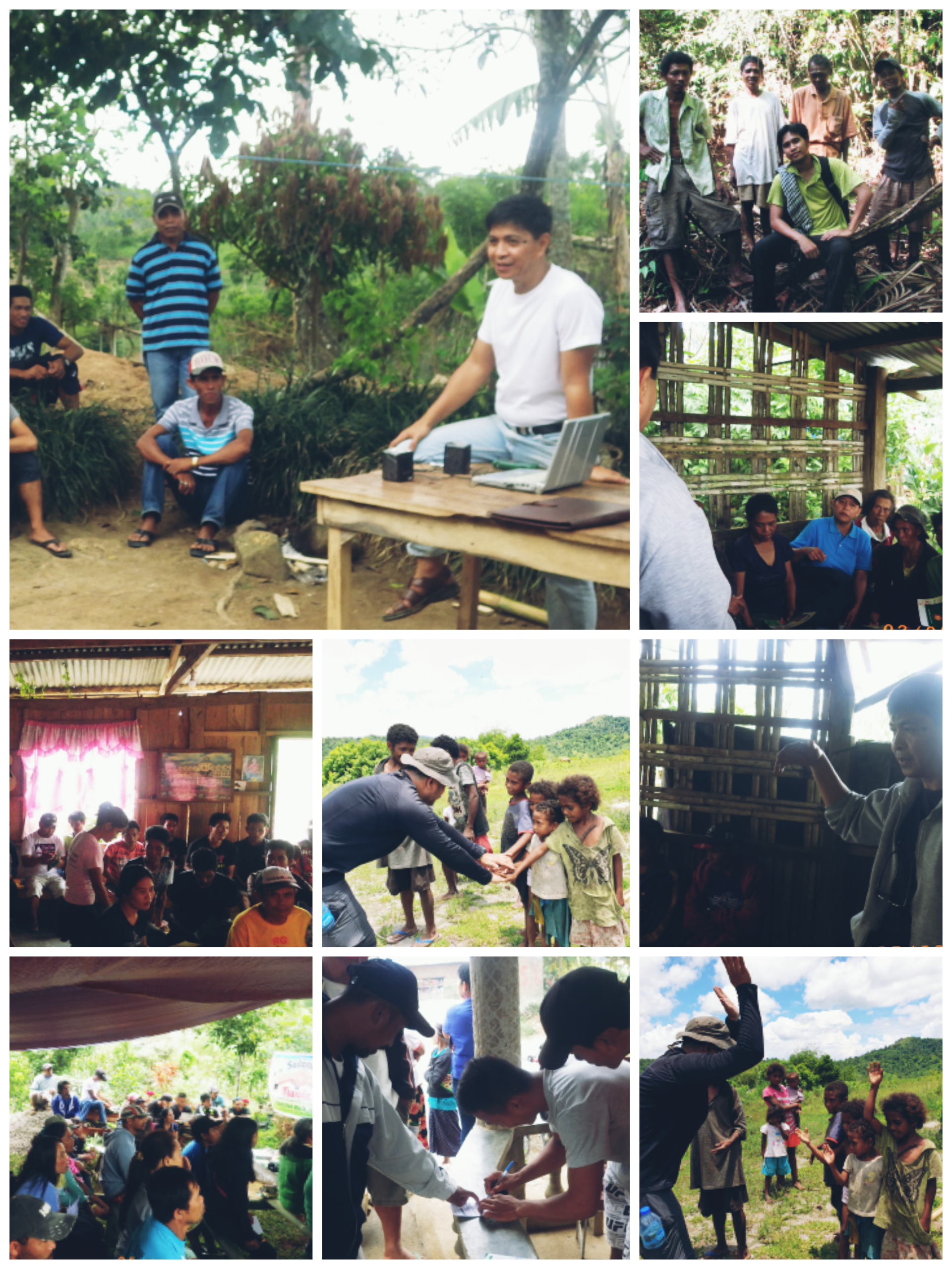
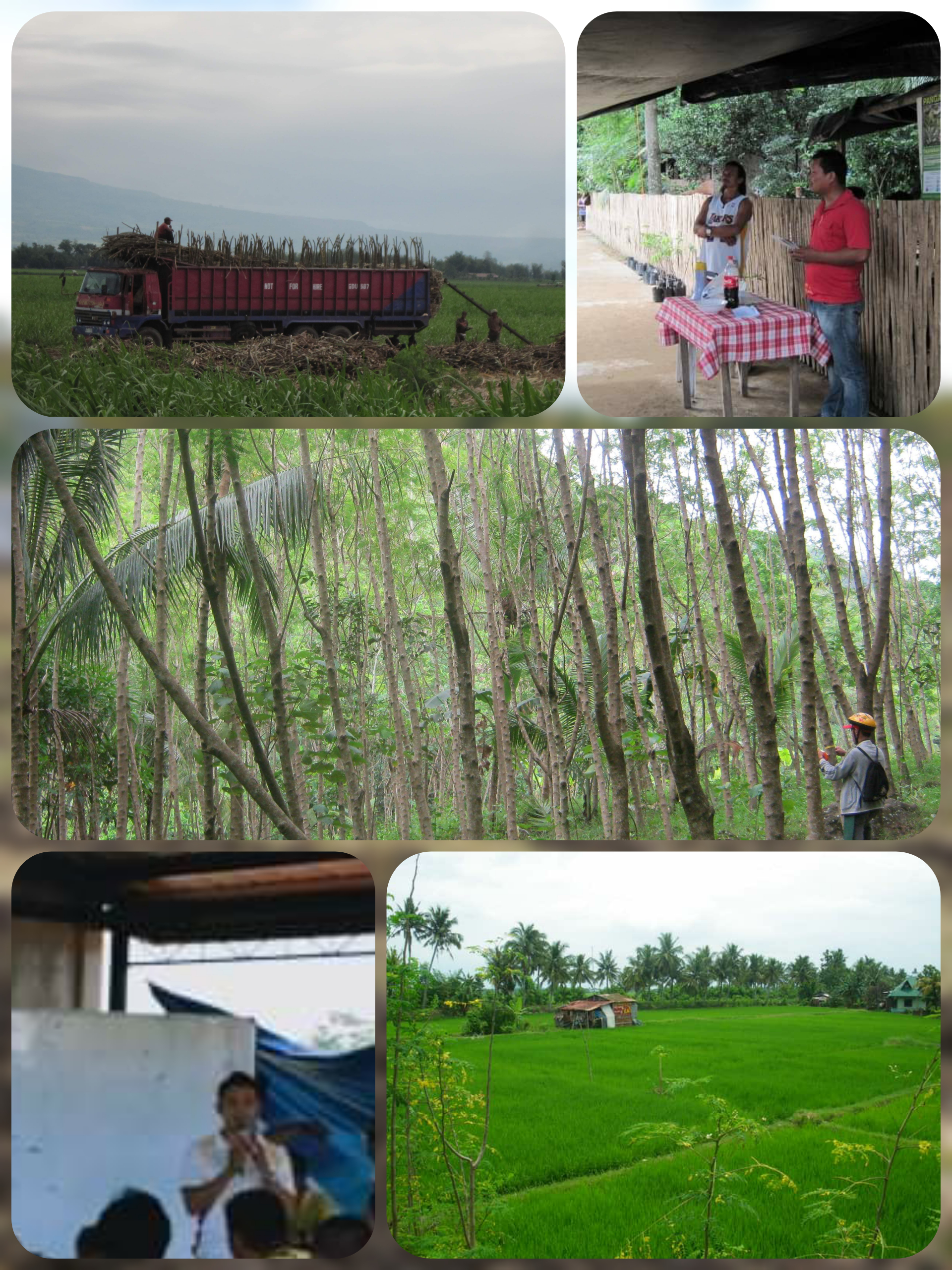
We are a team of “ecolonomy” (ecologically-sound economy) advocates and specialists in the fields of: Upland Community and Rural Enterprise Development, Geo-Spatial Information and UAV Systems, Environment and Natural Resource Management, Forestry, Agriculture, Engineering, and Information Technology Solutions Development
OUR SERVICES AT A GLANCE...
While our expertise is best matched in upland community development, our services extend...
Ground and Aerial Geo-spatial Data collection, processing, storage, analytics and modeling
Our group utilizes primary data to obtain from the establishment of control points, flying an Unmanned Aerial vehicle, analysis, and recommendation.
Map Cartography (Plotting and Layout)
Need to know the location and form of your property? We are willing to help you! Our experts know how to create clean and lucid map.
Research and Development for Various Industry/project Requirements Using Unmanned Aerial Vehicle (UAV)
We have resources and partners who takes photogrammetry and LiDAR data by heart for your industry needs! Contact us so we can fly.


